How do you plan your itinerary for your upcoming trip? Do you use Google Maps to calculate the distance and then add it manually into a spreadsheet?
I generally create a spreadsheet which includes date, departure town, arrival town, distance and a notes section. I have also been using a spreadsheet created by
Francois Visagie which allows
for multi-currency itinerary planning and budget planning.
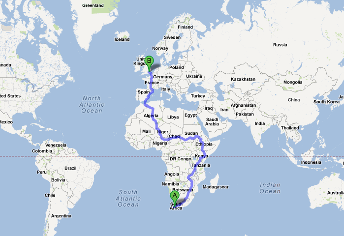
My biggest frustration is calculating the distance between two towns... it's easy enough to do with Google Maps but just time consuming when working out an itinerary.
I began to ponder... what if there was a spreadsheet which could do that automatically for me? A quick search on Google revealed the answer...
A Google Map distance calculator has been created by
Winfred van Kuijk.
The spreadsheet uses Google Docs (Google username required) to link to Google maps and will calculate the distance between two cities. It allows you to add to a trip log, which you could copy to your favourite tip planning tool.
It has a few limitations which is primarily around the route planning. It presumes, via Google Maps, that you always want to do the quickest and shortest route, rather than an alternative route. The work-a-round is to create more 'hops' between the smaller towns.
My tips on using the spreadsheet:
Create a copy of the template to your Google Docs account.
 |
| Distance Calculator - Settings |
First change the settings for your region i.e. country code and units.
Be very specific of your address i.e. Nata, Botswana
Let me know if you think its useful...